Buenos dias desde Chicago!
Yesterday was very interesting and intense day, here in Illinois. I was chasing nice supercell, from Peru IL to Kankakee IL. This cell gave hail up to 9.5 cm in diameter (3.75 inch).
Day was hot and very humid, with Tmax ranging between 29C and 33C. Dewpoints were up to 27C. In such conditions extreme value of Cape and Li were observed (according to soundings, Cape in Davenport,IA was 5370 j/kg, Li -13, in Lincoln,Il cape was 6636, Li -13).
With such a values, along with strong 0-6 km wind shear, the worst fear was of strong tornado, but that didnt happen.
Supercell i was following, came from nothing to supercell in very short period of time.
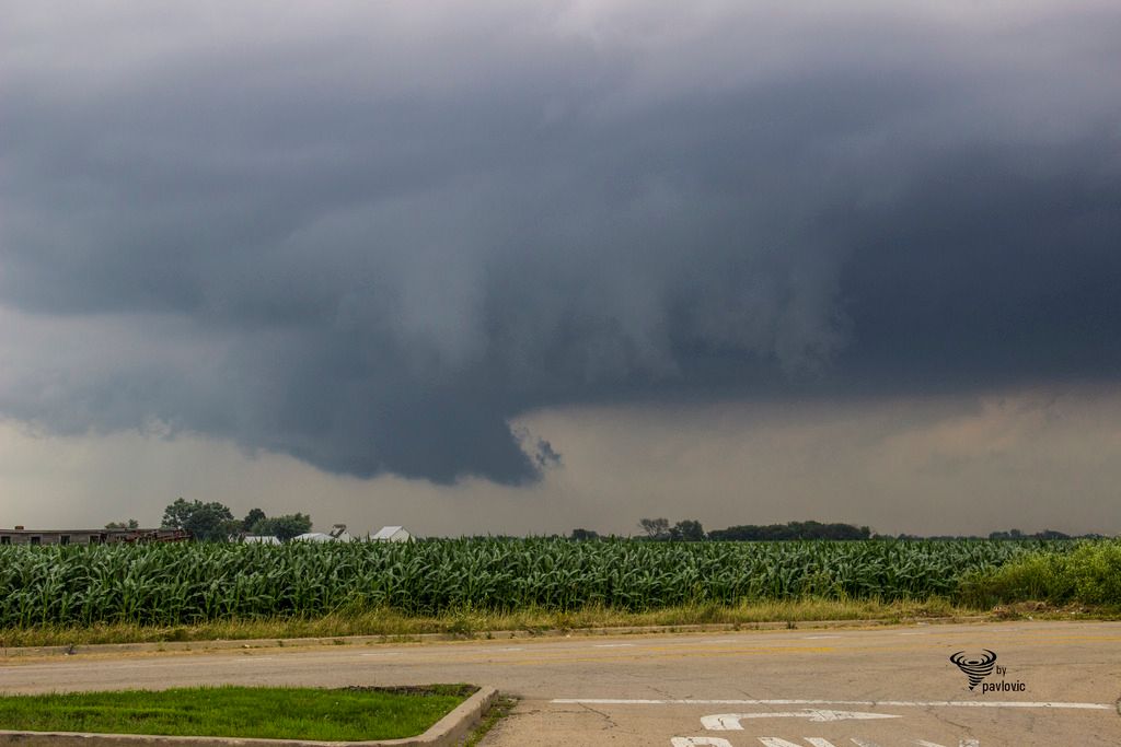
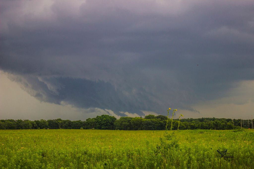
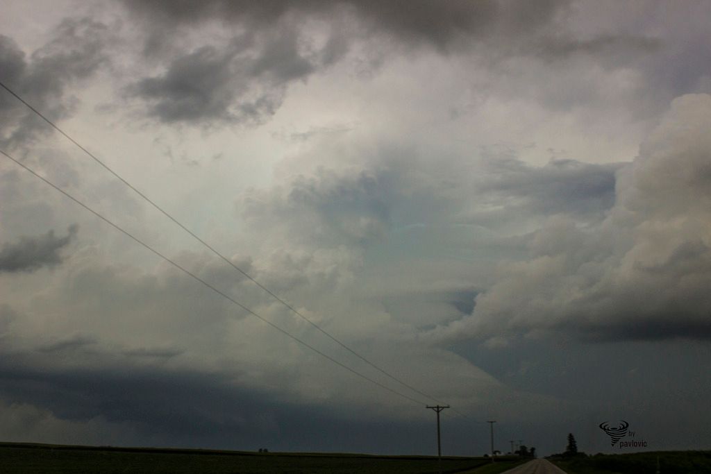
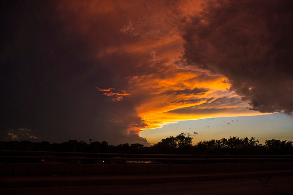
Wall cloud, location is Peru, Il
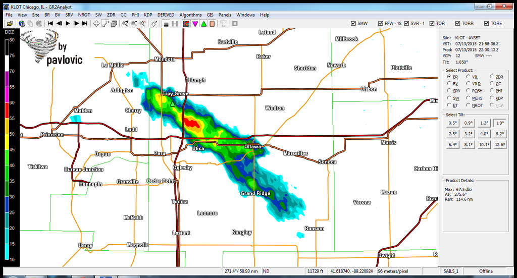
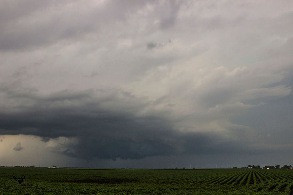
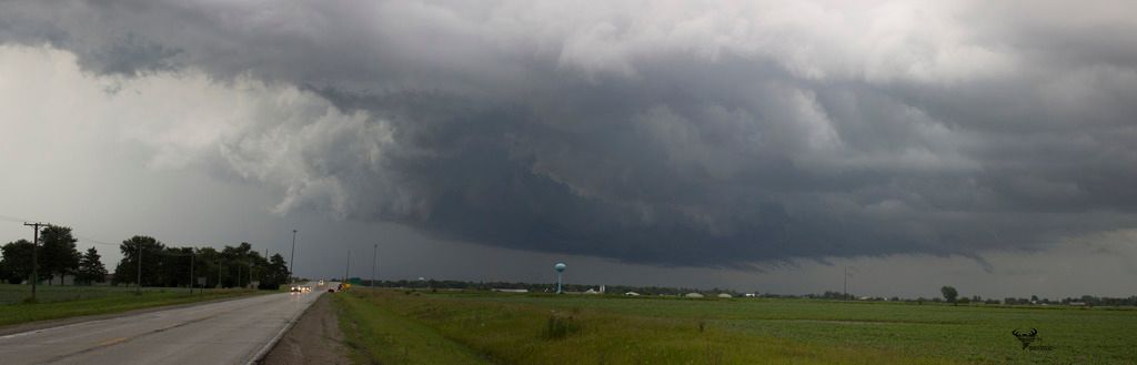
Storm is heading toward SE, now is over Ottawa, producing large hail
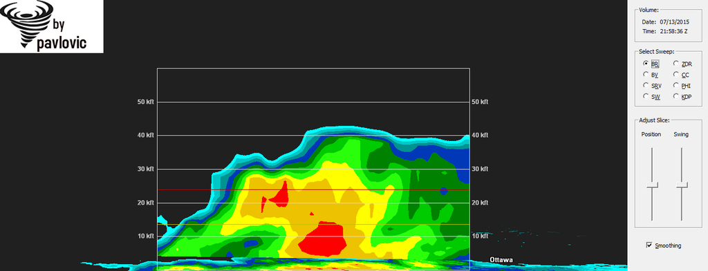
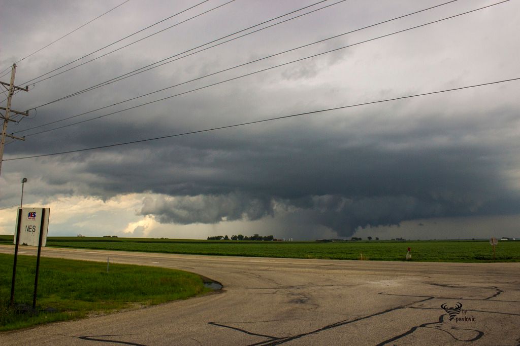
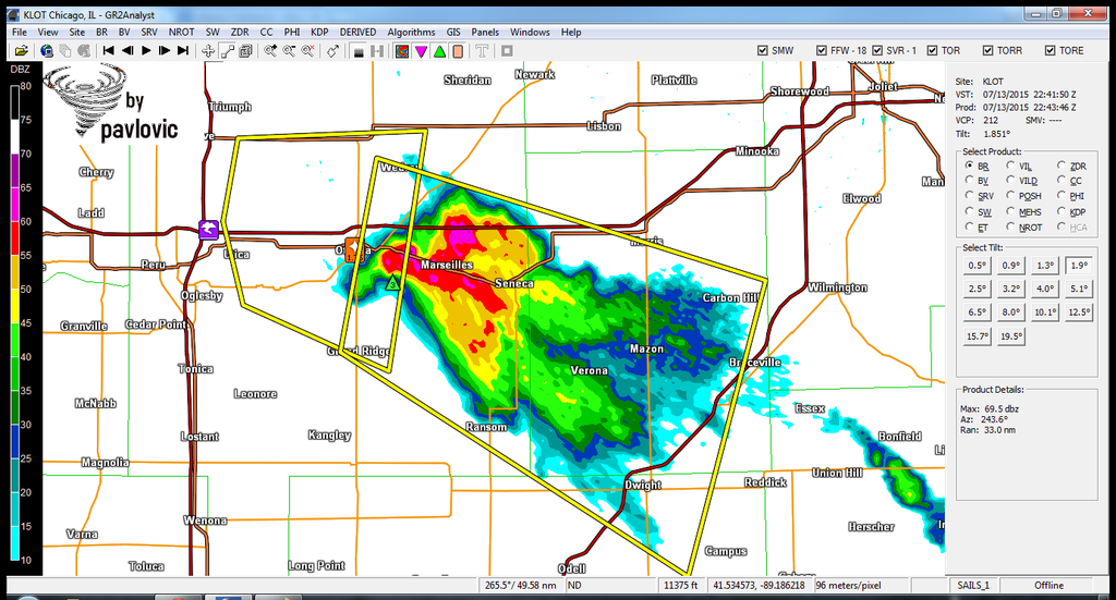
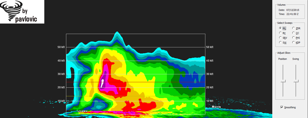
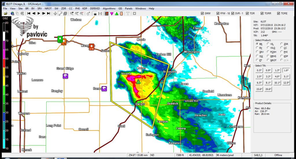
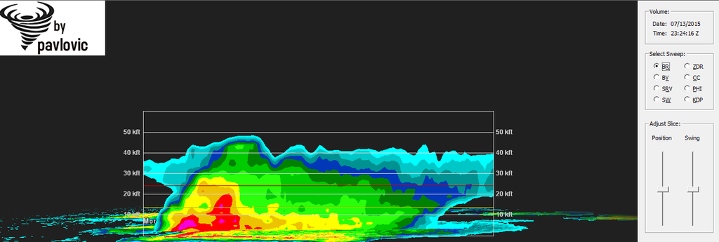
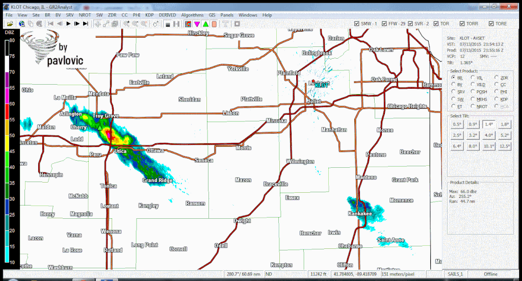
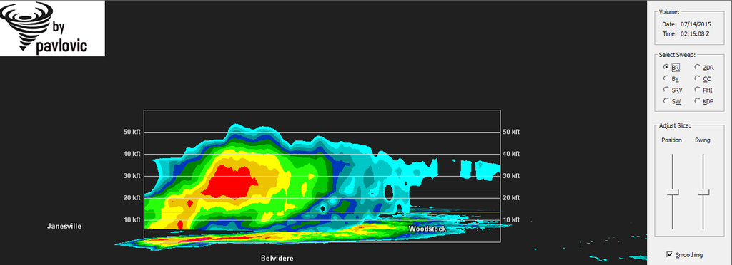
Near Marseilles, Il, supercell is 20 km high, with max reflectivity 75 dbz. Hail up to tennis ball size was reported.
Funnel was reported, too.
Green skies.
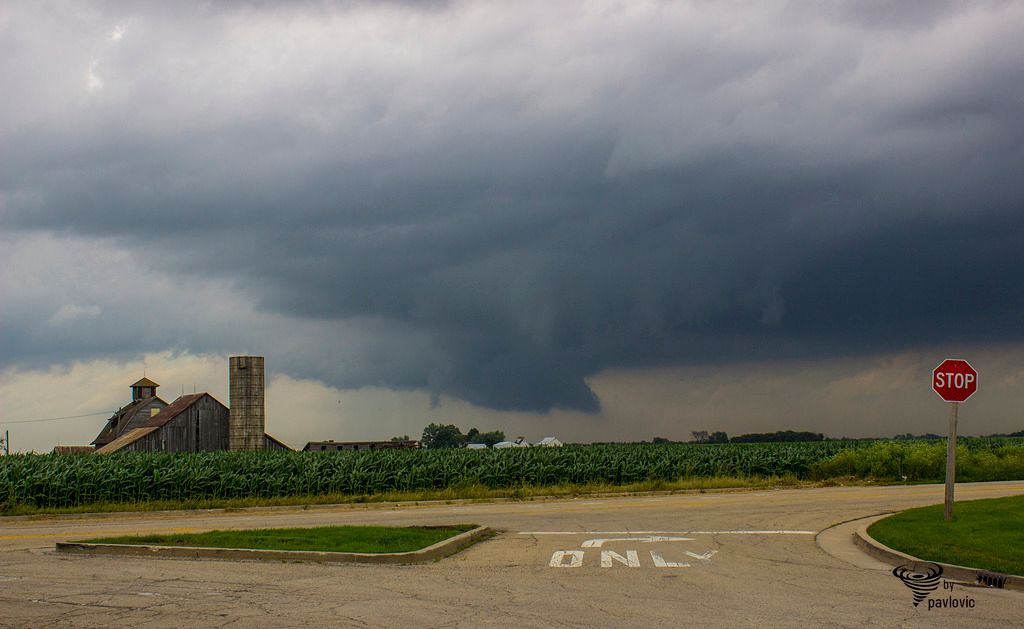
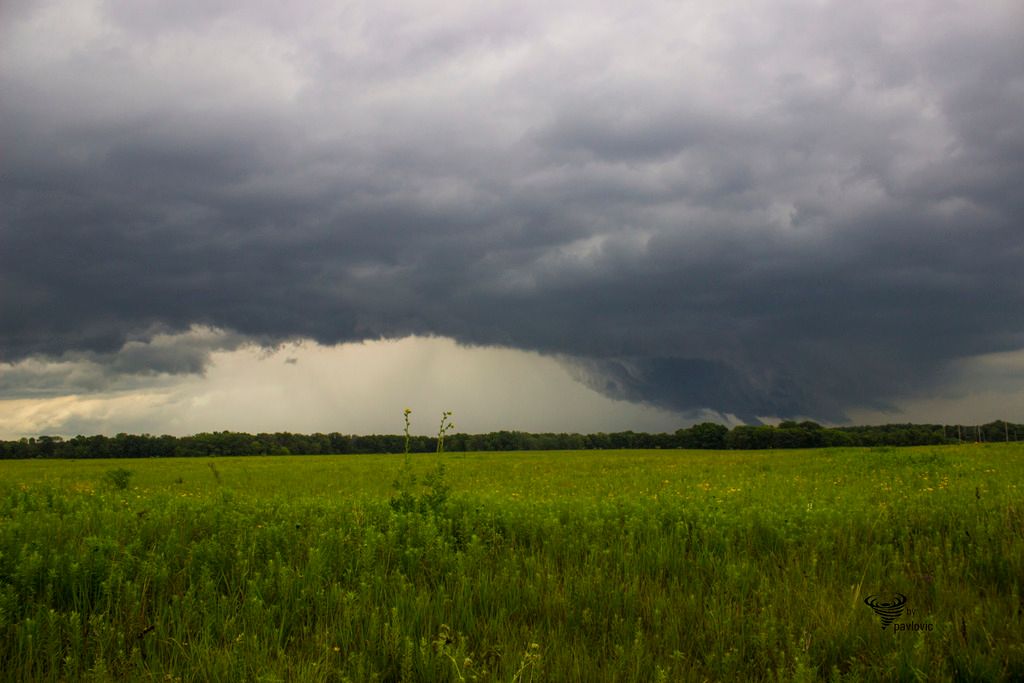
Wall cloud in distance
75 dbz
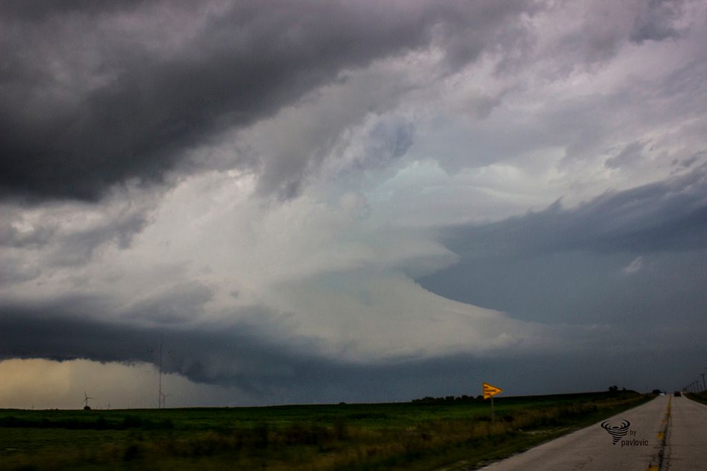
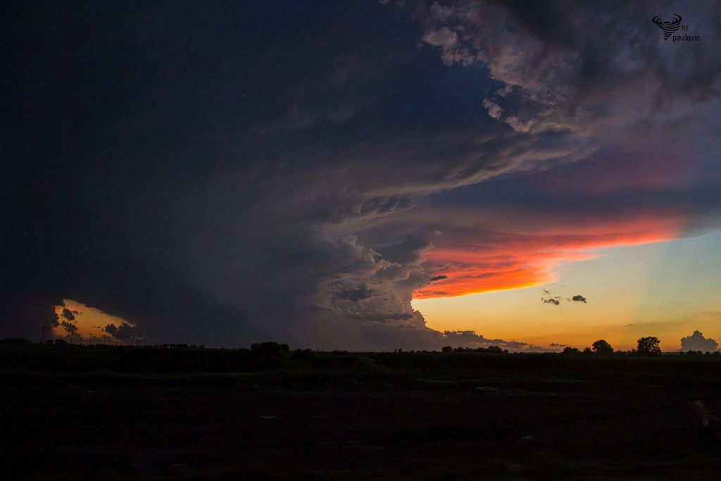
Toward Dwight, structure of this supercell is more and more beautiful
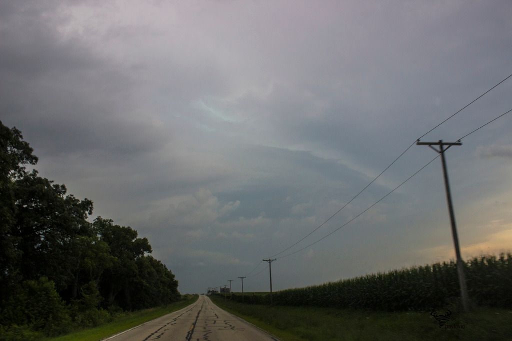
Toward Kankakee, cell is weaker
Animation
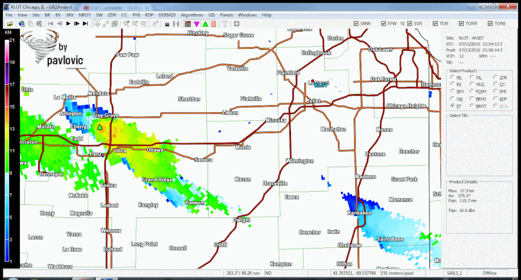
Height of cloud tops, animation.
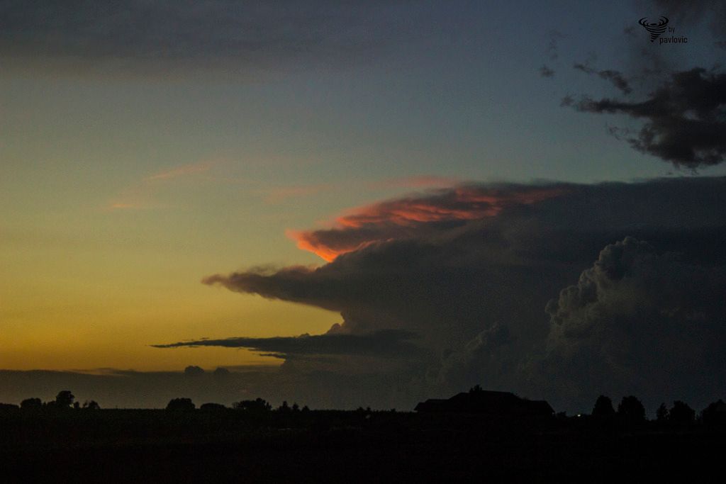
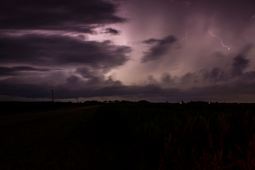
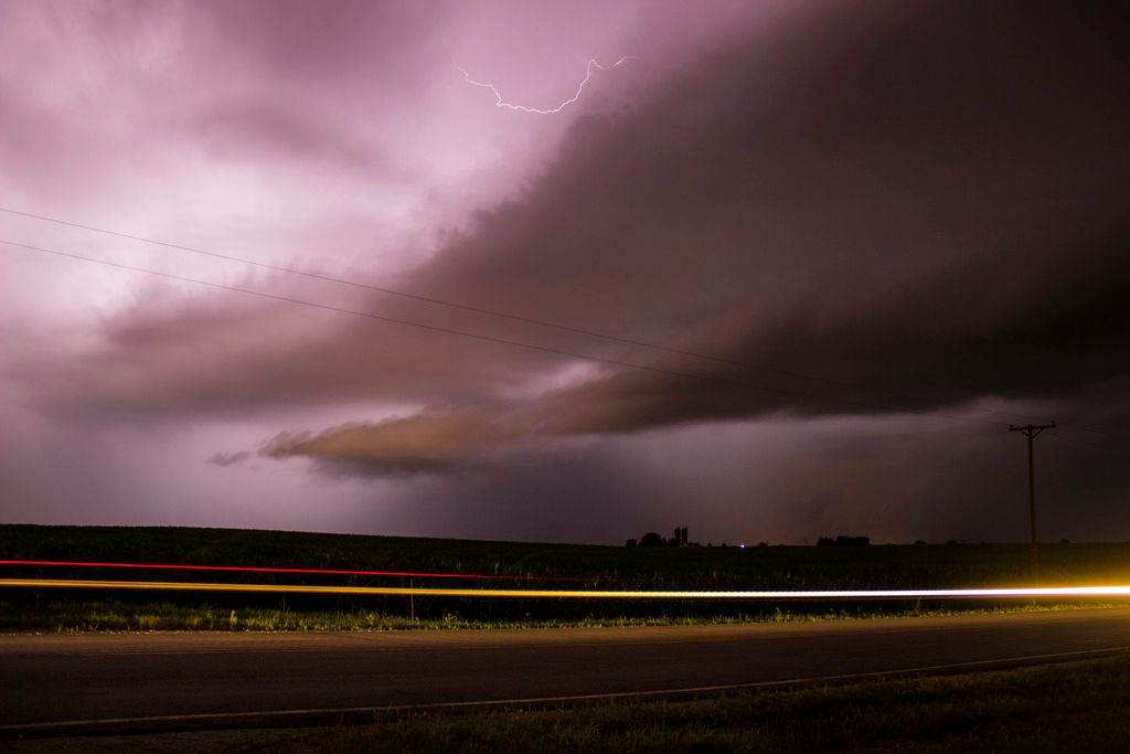
I decided to go back NW and try to catch some lightning.
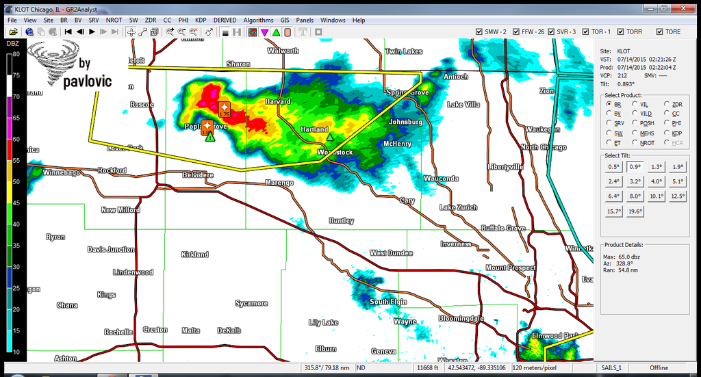
Storm toward Quad Cities
My target, SC which was moving from S WI to N IL
There was no CG lightning, just crazy lightning from anvil.
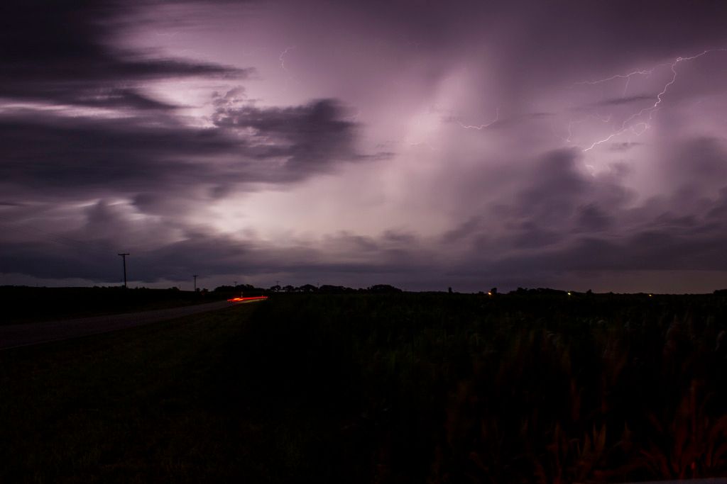
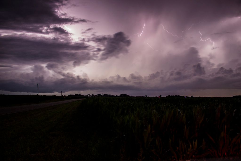
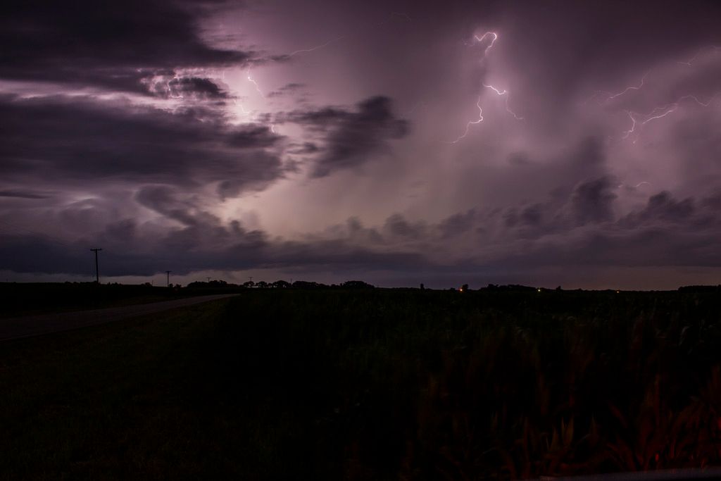
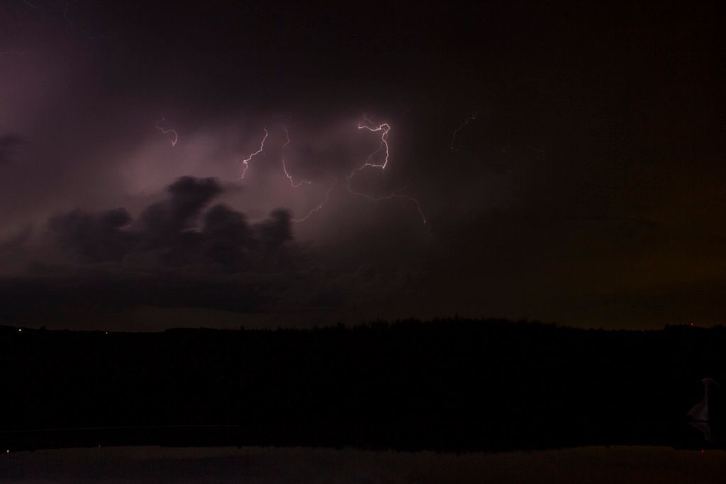
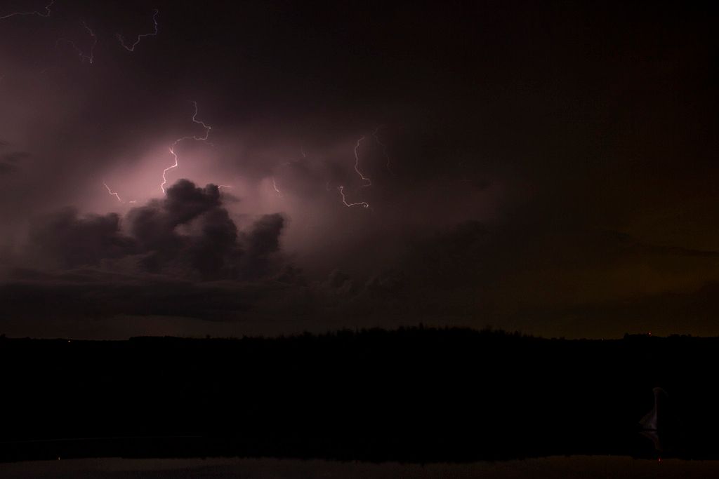
Video of crazy lightning:
! No longer available..........
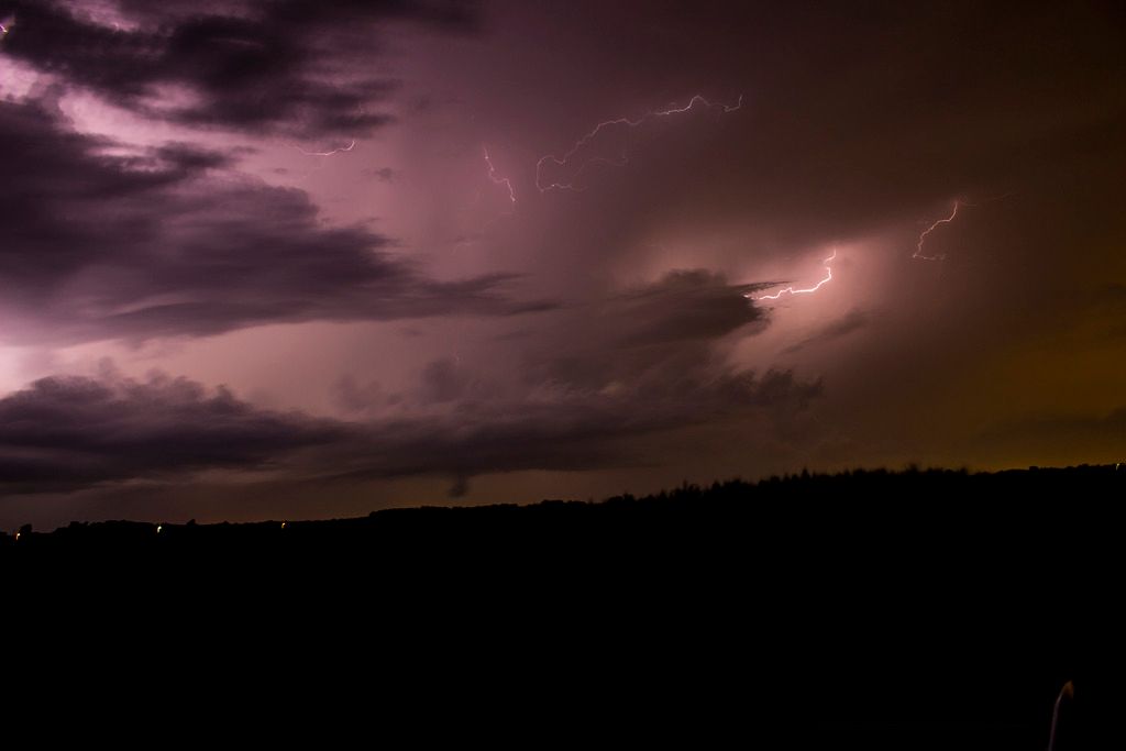
From Marseilles, Il (video is not mine):
! No longer availableSaludos!
 Tema: Inestabilidad extrema, N/C Illinois - 13.7.2015. (supercelula y rayos) (Leído 1500 veces)