Buenas noches.
Yesterday i was chasing nice supercell in central parts of Kansas (Russell to Salina area).
2500km, two sleepless night, but it worth.
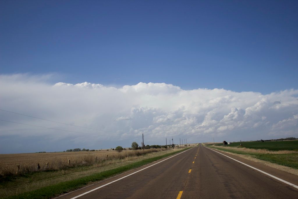
I have choosed Salina as my base. Supercell developed in short period of time, 150 km W of Salina.
With full speed into the storm!
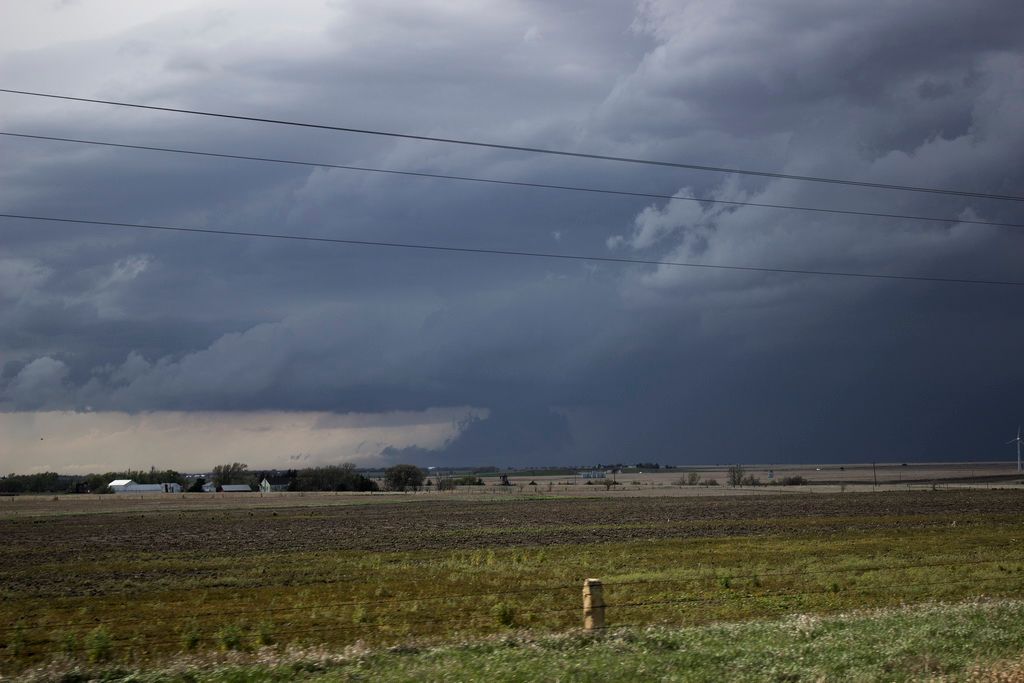
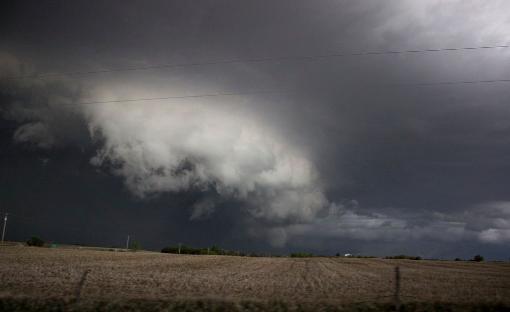
16.15h, near Russell. SC already produced two, rain wrapped, hard to see, but short tornadoes.
It attempted to produce new tornado, but without success. 6.5 cm hail in diameter and 122 km/h winds are reported near Russell.
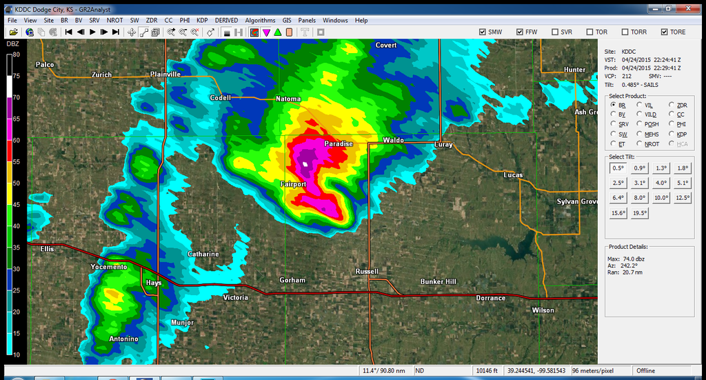
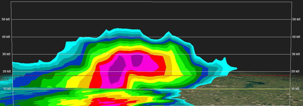
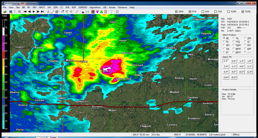
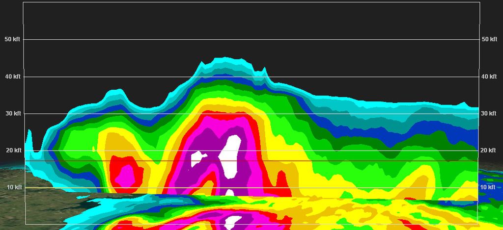
Radar, PPI and Vertical cross section.
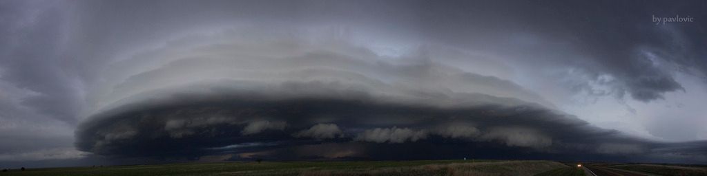
E of Russell, near Wilson lake. Crowded place, with lot of chasers waiting for tornado.
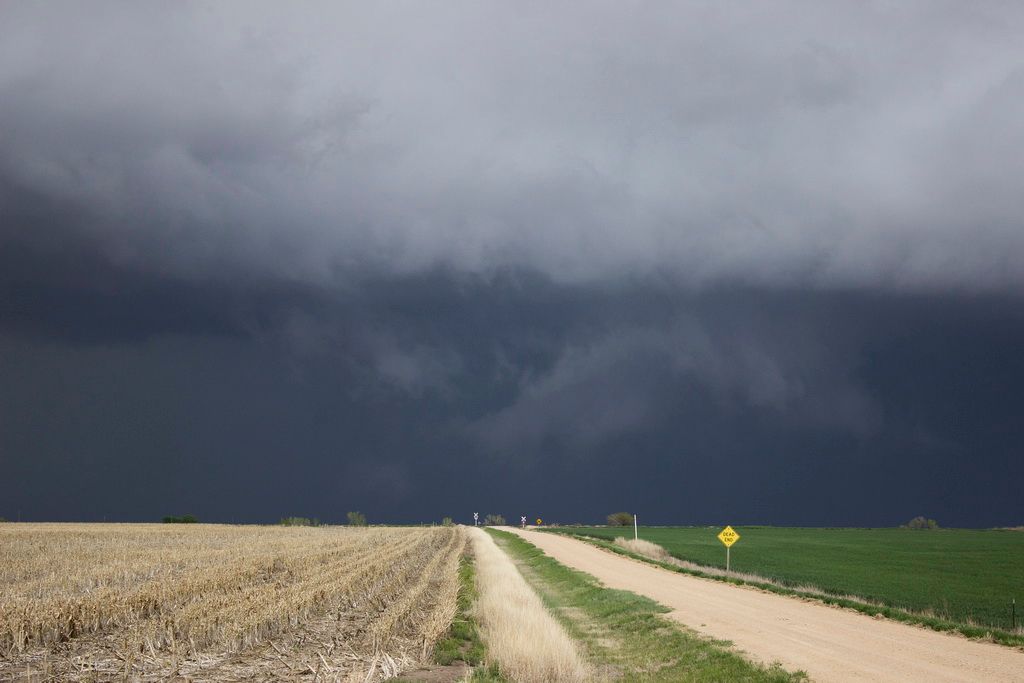
Funnel was reported, rain wrapped again. SC got greenish tinge, large hail was reported near Lucas.
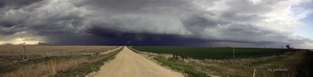
Going S toward Ellsworth, but severe wind gusts and clouds of dust, made me turn into the first road to the E
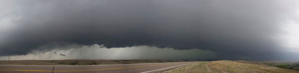
Beautiful formations
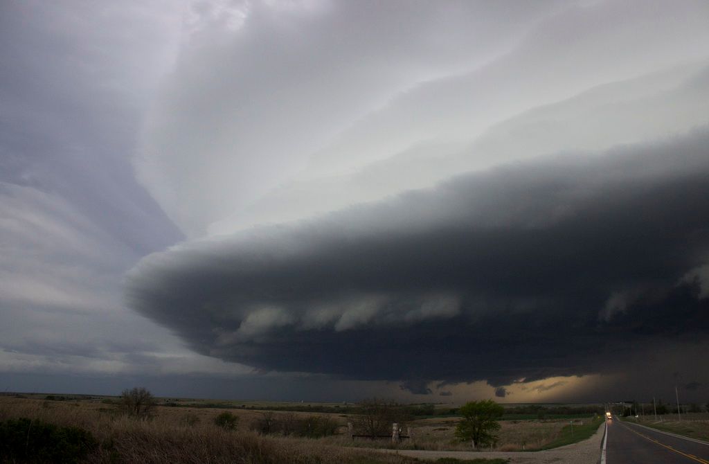
I'm now on safe distance, going S again. Never saw such beautiful formation.
Three more panoramas:
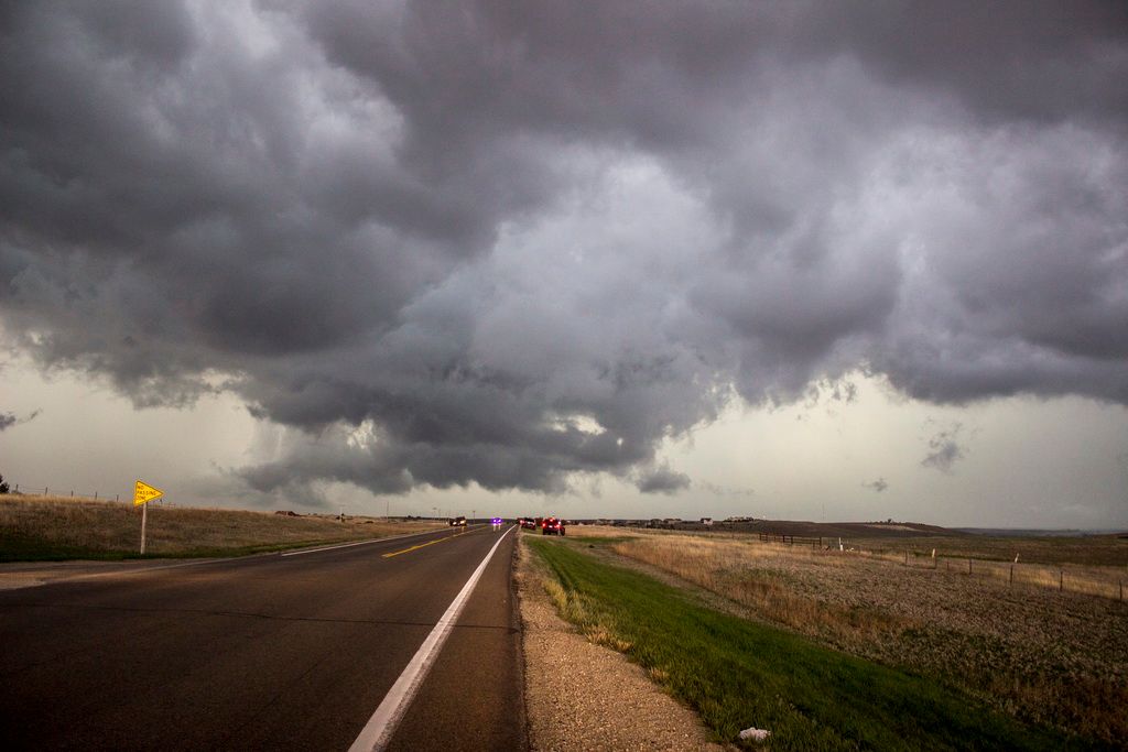
My first encounter with this SC
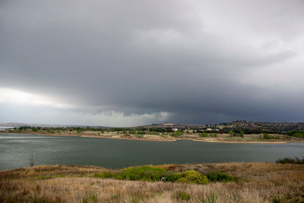
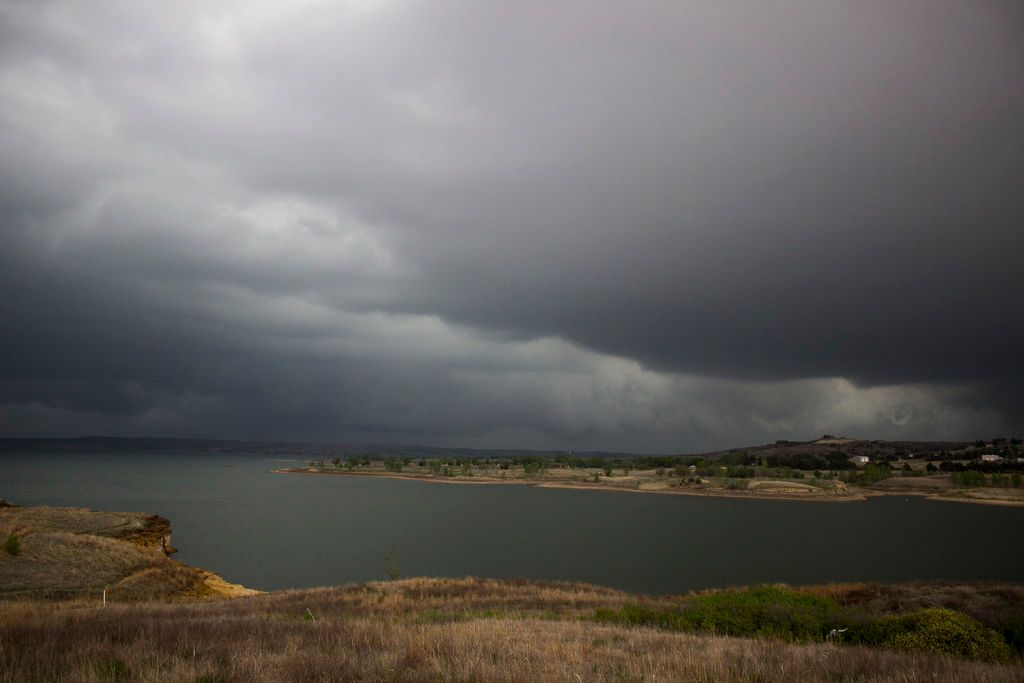
Wilson lake, green SC
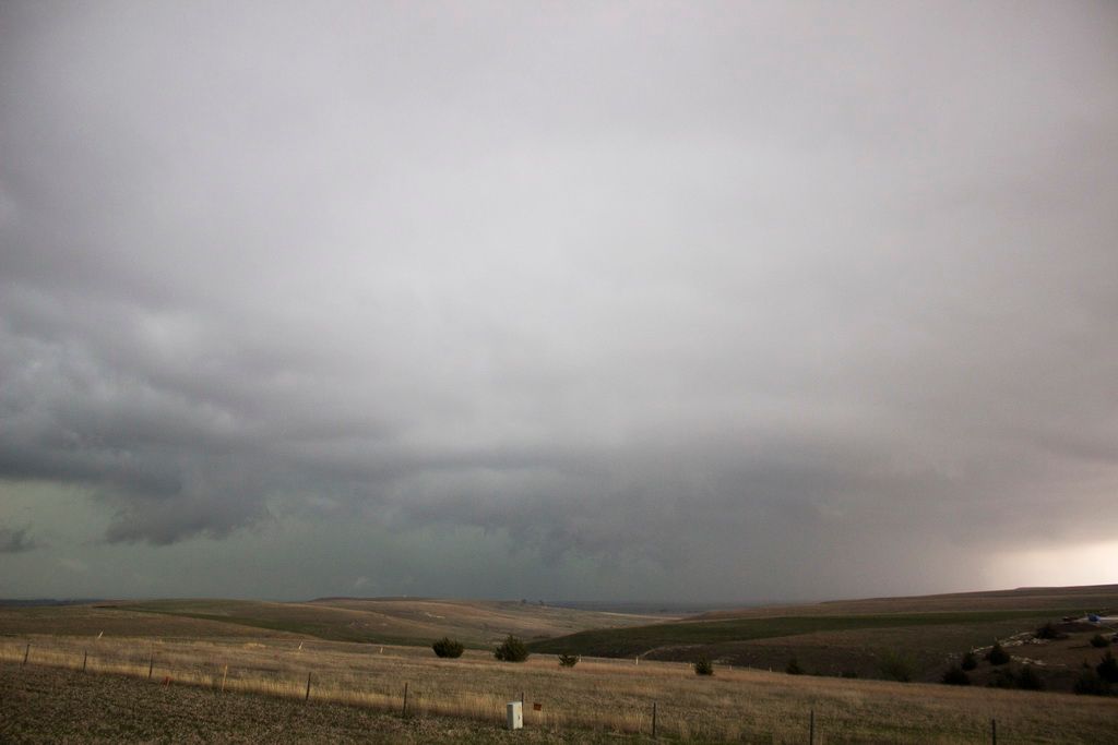
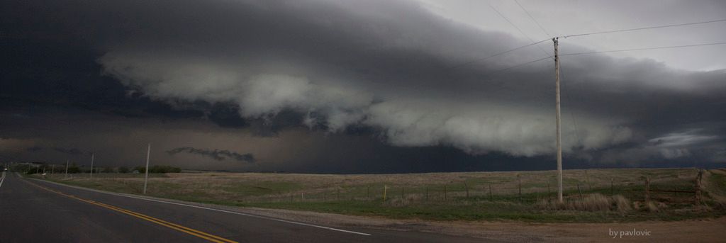
During my escape toward east
Videos, available in HD
I'm so sorry i didnt meet Reed and Dominator, they were there:
http://www.accuweather.com/en/weather-video/video-update-extreme-meteorologist-reed-timmer-from-below-a-tornado-warned-supercell/4195339487001Saludos!
 Tema: Tornadic supercell in central Kansas - 24.4.2015. (Leído 1635 veces)